Libby Dam is a U.S. Army Corps of Engineers project on the Kootenai River in northwestern Montana. It creates Lake Koocanusa and serves flood-risk management and hydropower, alongside recreation, fish and wildlife, and water-quality responsibilities. The dam is 422 feet high.
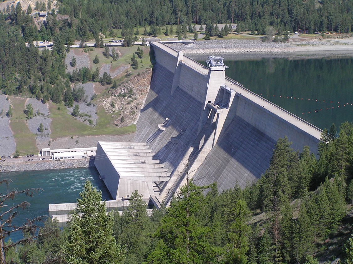
The dam at a glance
| River | Kootenai River |
|---|---|
| Operator | U.S. Army Corps of Engineers, Seattle District |
| Height | 422 feet |
| Reservoir | Lake Koocanusa |
| Location | About 17 miles upstream of Libby, Montana |
More than a power station
Water held and released here connects flood-risk management, electricity generation and conditions downstream. USACE’s 2026 fact sheet identifies Libby as the fourth project built under the Columbia River Treaty; the other three treaty projects are in Canada.
A visitor’s view of the lake is therefore a view of working infrastructure. For a reading of the reservoir today, use the official water-data links and check the measurement time.
The next generating unit
USACE’s October 13, 2026 update describes a $34.8 million project to add generating Unit 6, with completion targeted for April 2027. The agency says the additional unit will provide flexibility while existing generators are maintained.
The same update says powerhouse public access is closed during the work. A completion target is a plan, not a confirmed reopening date. Read the full Unit 6 announcement and confirm visit arrangements before travelling.
Read the place in context
Start with the reservoir’s geography, then follow the official project documents for operating detail. Our companion publication, Libby News, follows the local context around water, public life and the land.
A few useful answers
Who operates Libby Dam?
The U.S. Army Corps of Engineers, Seattle District, operates Libby Dam. This independent website does not operate the dam or represent USACE.
What river does Libby Dam cross?
Libby Dam is on the Kootenai River in northwestern Montana. Its reservoir is Lake Koocanusa.