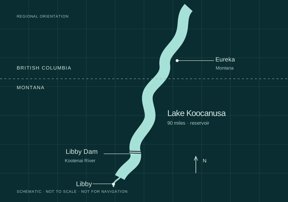
Lake Koocanusa is the reservoir formed by Libby Dam on the Kootenai River. USACE describes it as 90 miles long, with 42 miles in Canada. The Montana portion is a place for scenic drives, boating and shoreline recreation; access depends on the site, season and reservoir conditions.
Understand the geography
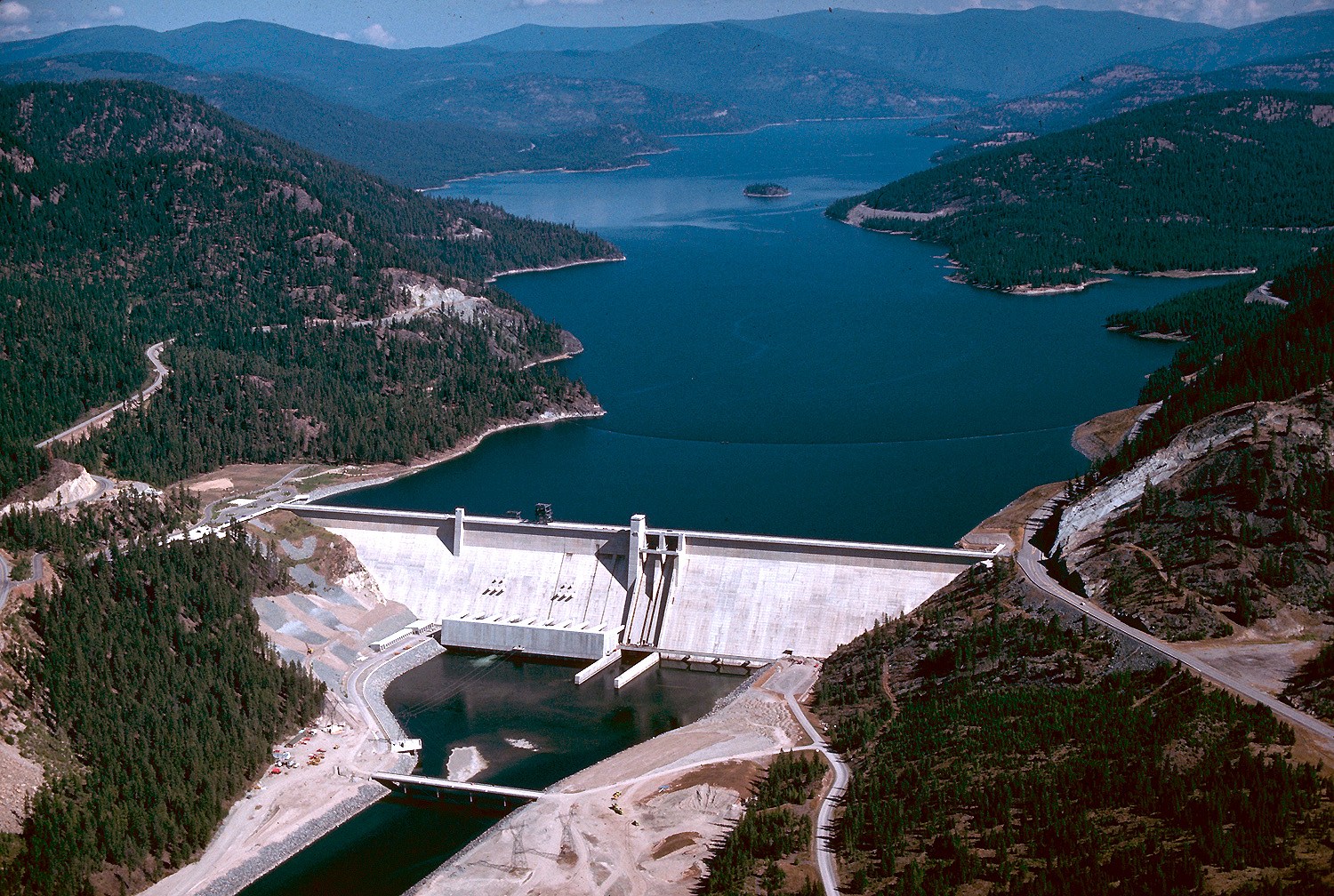
The dam marks the reservoir’s southern end. The Kootenai River continues downstream toward Libby. North of the dam, the lake crosses the international boundary into British Columbia. Visiting a Montana shore site and crossing into Canada are different trips: plan your route and any border requirements separately.
This guide focuses on the U.S. side around Libby Dam. Read the USACE project fact sheet for the reservoir’s wider setting.
The scenic byway
Highway 37 links Libby and Eureka along the Kootenai River and the reservoir. Recreation.gov describes the Lake Koocanusa Scenic Byway as a 67-mile route. The west-side Forest Road 228 loop is seasonal and closes in winter.
The reservoir’s name combines parts of Kootenai, Canada and USA, according to the scenic byway overview. It is a modern coined name. Read the official route description and current travel information before setting out.
Choose a place, not just a lake
A long reservoir is not one continuous public beach. Pick a specific recreation area, confirm its access and facilities, then plan around that location. Start with USACE’s recreation directory and the individual facility listing.
For a first visit near the dam, use our visitor planning guide. For the public decisions and research connected to this watershed, read Libby News.
A few useful answers
How long is Lake Koocanusa?
USACE describes Lake Koocanusa as a 90-mile reservoir, including 42 miles in Canada.
Is Lake Koocanusa a natural lake?
Lake Koocanusa is a reservoir formed by Libby Dam on the Kootenai River. It extends from northwestern Montana into British Columbia.
Keep exploring