Visiting & recreation
Choose a campground, a launch or a stretch of shore before you leave town.
12 guidesA field guide to the Kootenai
Libby Dam, the long reach into British Columbia, and the river that runs on below.
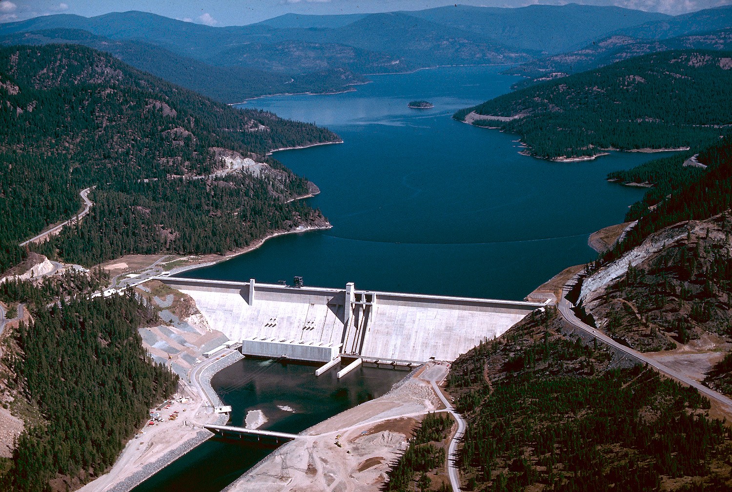
Choose a campground, a launch or a stretch of shore before you leave town.
12 guidesRead water levels, understand seasonal changes and find the right gauge.
5 guidesFollow the water through the dam and see what determines when and how it is released.
4 guidesSee how the reservoir changed the Kootenai valley and the lives of people along it.
8 guidesMeet the fish, explore habitat restoration and trace the water-quality research.
6 guidesExplore the Canadian reach, from provincial recreation to cross-border water management.
7 guides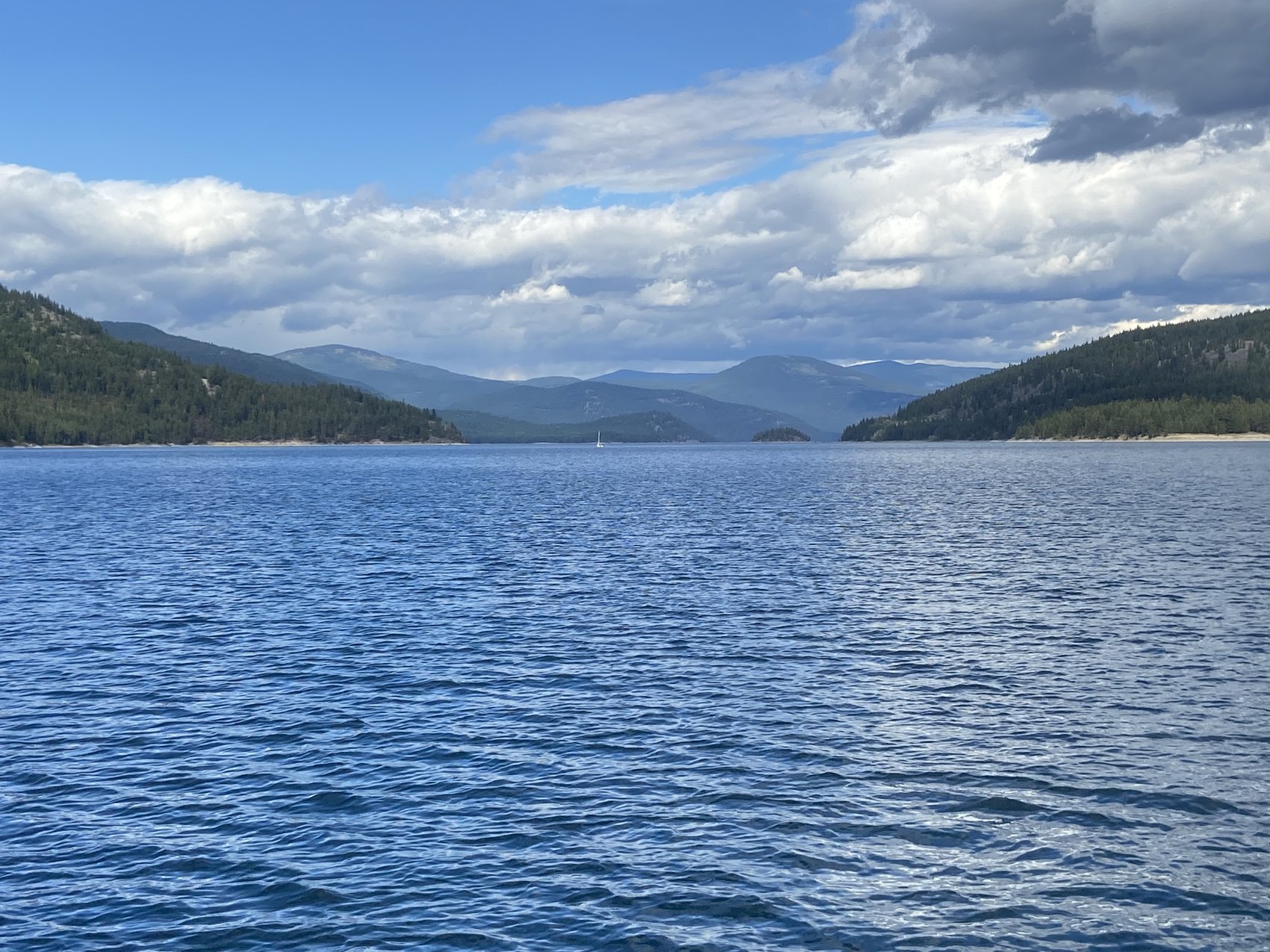
Search campground, launch and day-use listings by name or activity. Filter for Montana’s reservoir shore, the Kootenai River below the dam, or British Columbia.
Browse the places directoryVisiting & recreation
Drive the 67-mile Libby–Eureka scenic byway on Montana Highway 37, with tips for the Koocanusa Bridge and seasonal Forest Road 228 loop.
Water & conditions
Find the official Lake Koocanusa elevation chart and understand its timestamps, full-pool reference and day-to-day changes.
History & communities
Why Rexford, Montana, moved as Libby Dam was built and what a 1972 federal project statement records about the new townsite.
Find the latest timestamped readings at the agency, then use the field guide to put them in context.